
Galt ZIP Codes: The Verified Coverage
Research verifies ZIP code 95632 for incorporated Galt and some Galt-address territory around the boundary. No authoritative source in the research proves a second ZIP serves the incorporated city, a unique or PO-box-only Galt ZIP, a split year, a realignment year, or ZIP-level resident statistics. Nearby Herald, Thornton, or Acampo ZIPs should not be added just because they appear in regional mail or geography searches.
| ZIP | Areas covered | Post office | Notes |
|---|---|---|---|
| 95632 | Incorporated Galt and some Galt-address territory near the boundary | Galt Post Office | Mailing area is not the city line |
A Galt ZIP code directory should label this as verified coverage and leave the research gap visible. USPS delivery geography can answer where mail is routed. It cannot by itself show who lives at an address or which government office has jurisdiction over a parcel.
Galt ZIP Directory: Post Office 95632
The USPS Galt Post Office is at 600 N Lincoln Way, Galt, CA 95632-9998, with phone 209-745-6127. The captured Galt service information lists retail weekdays from 9 a.m. to 5 p.m., a PO-box lobby from 6 a.m. to 8 p.m. daily, General Delivery, and PO Box Online. Verify current service details before relying on a Galt counter or lobby hour.
Use USPS ZIP Lookup on the exact Galt street address rather than a city name alone. The result can validate a Galt delivery ZIP or preferred city line. It does not turn a ZIP into a resident list, an APN, a city-limit finding, or a property-owner record.
The USPS Galt Post Office listing is the source for the local service point shown below.
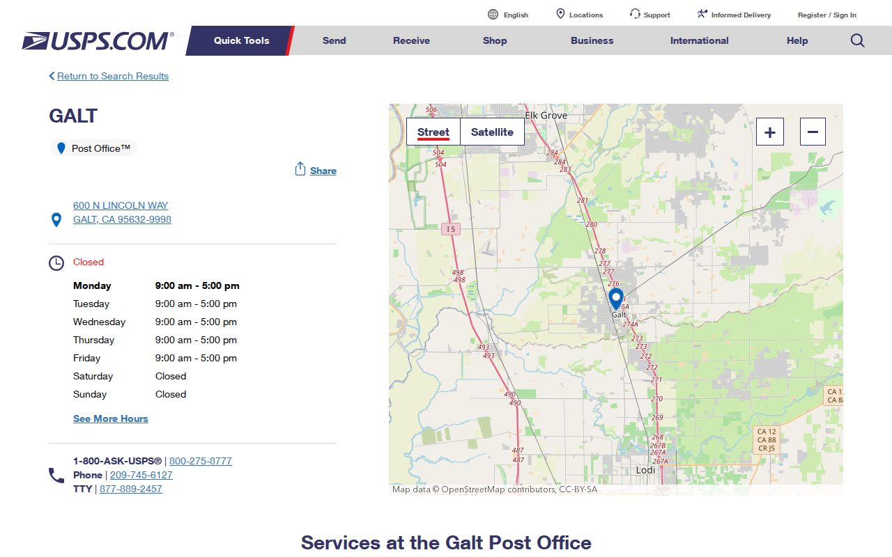
The Galt image anchors the ZIP code directory in a real delivery office while the parcel and record questions remain with their custodians.
Galt ZIP Boundaries: 95632 and City Limits
Galt maps distinguish the incorporated city limit from the sphere of influence. Fairway Oaks and Island Annexation materials describe parcels with Galt 95632 mailing addresses in a county-island and annexation setting. The documented project annexed a 39.5-acre county island and involved a 48.4-acre, 162-home project. Those figures describe a planning case, not a count of residents, and they show why a mailing label cannot settle jurisdiction.
For a ZIP-based Galt records search, open the city planning maps and the Parcel Viewer. If the parcel is inside the city, a City Clerk, Building, Planning, or Code request may fit. If it is outside, the County or another custodian may hold the file. The ZIP stays useful as a delivery clue, but the boundary is a map question.
The Galt planning maps are the local boundary check.
Finding Galt Residents by ZIP Code
A Galt ZIP code search needs a record that actually accepts a ZIP. The public Assessor viewer's live ZIP-filter mode was not verified. The Galt secured-roll schema contains situs ZIP and owner-mailing ZIP fields, so a focused roll request can state which one is wanted. The Galt voter file can contain residence and mailing addresses only through an approved statutory purpose. USPS can validate Galt delivery geography. These are three distinct paths.
- Run the exact Galt address through USPS ZIP Lookup and save the delivery result.
- Use the Galt boundary map and Galt Parcel Viewer to check city, county, APN, and situs.
- Request a Galt secured-roll extract or field search by situs ZIP 95632, naming the date and fields needed.
- Use Galt voter-file information only with the approved purpose, application, identification, and payment.
- Once a ZIP narrows the work to a street, use the Galt by-street address record route.
Do not claim that a Galt portal has a ZIP button when the research did not verify it. A careful Galt request is stronger than a made-up filter.
Galt ZIP Records: Situs and Mailing
The Galt secured roll has both a physical situs address and an owner mailing address. A Galt situs ZIP asks where the land sits. A mailing ZIP asks where the owner receives correspondence. They can differ. A Galt 95632 owner may receive notices elsewhere, and a property with a Galt mailing label may sit outside the incorporated city. Neither field proves that a named person is a current occupant.
State the Galt field in a request. Ask for situs ZIP when studying parcels inside a Galt delivery area. Ask for owner mailing ZIP when tracing correspondence geography. Ask for the APN, subdivision, lot, or legal description when land identity matters. Do not blend the two into one Galt resident conclusion.
- Situs
- The Galt physical place where the parcel is located.
- Mailing ZIP
- The ZIP used for a Galt owner's correspondence, which may be outside Galt.
- Delivery ZIP
- The USPS routing label for an address.
- City-limit line
- The jurisdiction boundary used to decide which city office holds a local record.
Galt ZIP Roll Filtering Without Guesswork
For current parcel fields, check the Sacramento County Assessor Parcel Viewer before asking for a ZIP-based extract.
The most honest Galt ZIP code directory workflow uses the documented secured-roll fields and asks the Assessor how a current extract can be made. Online owner-name search is suppressed, and the live Galt Parcel Viewer ZIP-filter behavior was not verified. The public roll layout still identifies the fields a narrow request can name. Ask for the date, field meaning, and whether the result is a current or historical extract.
| Requested field | Why it matters to ZIP research |
|---|---|
| Galt situs or property ZIP | Groups physical parcels by delivery area. |
| Galt owner mailing ZIP | Groups correspondence addresses, not parcel locations. |
| Galt APN and subdivision or lot | Prevents a ZIP result from merging similar street labels. |
| Galt land-use and tax-rate area | Adds assessment context without implying residency. |
| Galt Recorder book, page, date, deed type | Bridges a parcel result to the recorded-document index. |
For a Galt request, County NextRequest or Assessor lobby computers are the documented owner-data fallbacks. A request should be limited to the address area, ZIP field, date, and purpose so staff can identify the record without guessing at the desired geography.
Galt ZIP Geography: City and Census Shapes
Galt ZIP geography is only one shape of Galt. Census QuickFacts reports 25,383 people and 7.15 square miles for the incorporated city in 2020. The Galt Census County Division covered 39,872 people across 203.6 square miles. Historical records can reach still wider through Liberty, Hicksville, Herald, Thornton, Arno, Clay, Colony, and Elliott.
The Galt 1950 census is the newest public federal census under the 72-year rule. Its schedules name household members and may show age, birthplace, marital status, occupation, and address. A modern ZIP search for present-day Galt parcels should not be used to force an old census household into the modern city line. Compare the place label, enumeration area, map, and source year.
The National Archives 1950 Census search is shown here as a historical counterweight to modern ZIP data.
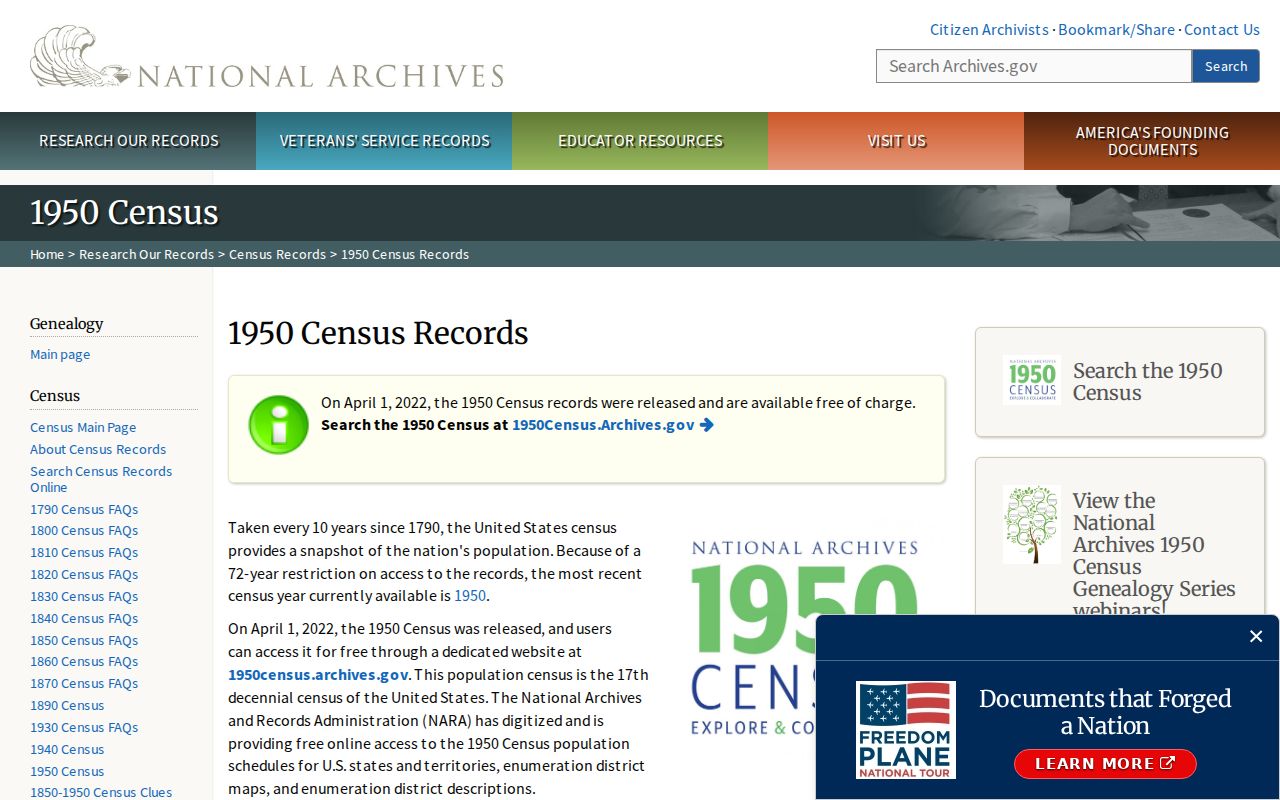
The Galt census image belongs to an era-based household search, while USPS and the Assessor answer current Galt geography questions.
Galt ZIP County-Island Example
Fairway Oaks illustrates why a Galt ZIP code directory needs a jurisdiction note. Parcels can carry a 95632 mailing address while a project concerns an unincorporated county island, a city designation, or an annexation. A record request sent to the wrong office may return nothing even though the parcel has a real permit, assessment, deed, or planning file.
Use the Sacramento County Clerk/Recorder serving Galt for deeds and vital copies, the Sacramento County Assessor serving Galt for assessment data, and Galt City Hall for city proceedings, permits, code, planning, and local requests. A Galt map should precede a request. The current city line and sphere of influence are not interchangeable.
The Sacramento County Clerk/Recorder is the county records gateway shown below.

County custody and city jurisdiction can sit side by side in a Galt ZIP search, so name the Galt record and parcel rather than relying on the mailing city.
Galt ZIP, APN, and Legal Description
A Galt delivery code, parcel number, and legal description each identifies a different layer. ZIP code directs mail. APN directs an assessment and map search. A subdivision lot-block or metes-and-bounds description controls the land identity in a deed. A street address is a human-facing label that can change after a lot-line adjustment, merger, or addressing action.
When a Galt parcel changes, carry the legal description and recorder reference forward. The APN may be new, the ZIP may be unchanged, and the street number may look familiar while the underlying land record has shifted.
- ZIP+4
- A nine-digit delivery extension that narrows mail routing beyond the five-digit ZIP.
- PO-box ZIP
- A Galt ZIP used for post-office boxes or a special delivery route, not proof of a residential block.
- Unique ZIP
- A ZIP assigned to one institution or narrow destination, not a general city area.
- Carrier route
- A postal delivery path inside a ZIP, not a parcel or legal boundary.
Nearby ZIPs Are Not More Galt ZIP Codes
The research verifies 95632 for incorporated Galt and does not verify another incorporated-city ZIP, a special Galt ZIP, a split or realignment year, or a published ZIP-level resident count. Do not pad the Galt ZIP code directory with nearby regional ZIPs. If a family record uses Herald, Thornton, Acampo, Liberty, or another place name, treat that as a historical or neighboring geography question and confirm the relevant custodian.
A Galt ZIP result can be stale, misread, or tied to a mailing address rather than the parcel. Keep the exact address, city-limit map, APN, and source date together. When the ZIP narrows the question to one street, move to the Galt address record chain. When it points to a prior household, move to census, directories, newspapers, probate, or cemetery sources.
That is the boundary of a useful Galt ZIP code directory: it narrows Galt geography without pretending that mail routing is a resident roll.